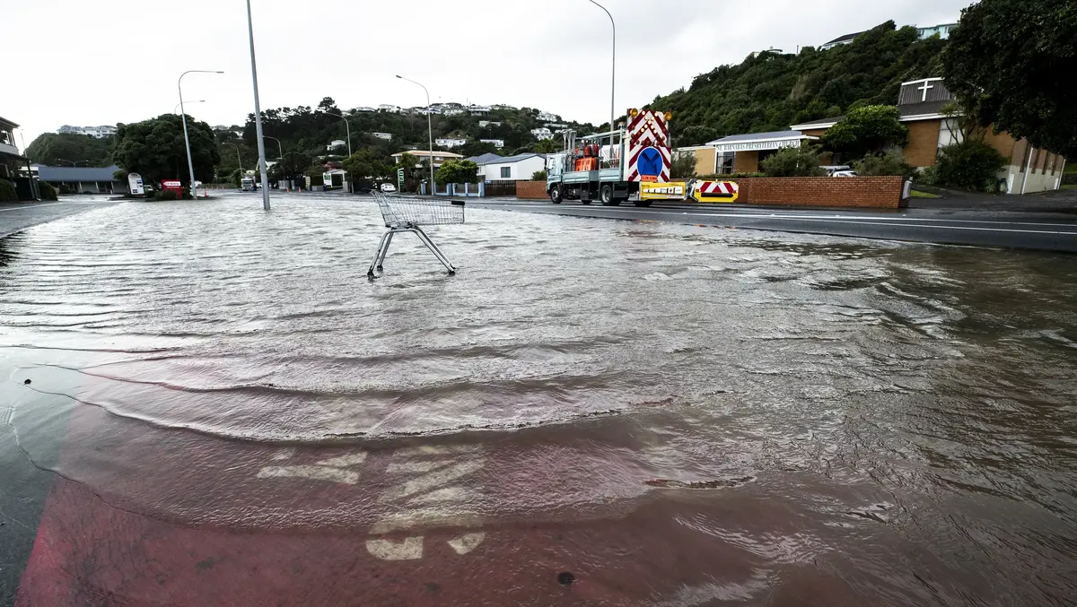
More than 2200 Porirua properties face flood risk in new maps
Mon, 9th Nov 2026 (Today)Updated flood maps show more than 2200 Porirua properties near streams are at risk of rainfall-related flooding.
The properties, in the northern Porirua suburbs and Pukerua Bay, are affected by the wide-ranging change of the city's district plan.
The most significant impacts were in Whitby, where 998 properties in the vicinity of Duck Creek faced flood risks, Mana, with 433 properties affected, and Pukerua Bay, with 584.
A Porirua City Council spokesperson said the changes, effective immediately after earlier consultations with affected property owners, are now publicly consulted as a requirement of the Resource Management Act.
The changes were part of "responsible natural hazard planning" to manage current and future risks from hazards and "ensure that any future developments are undertaken in an informed manner and do not increase the flood risk to surrounding properties", they said.
The new maps provided by Tiaki Wai on four catchments areas in Porirua – at Mana, Aotea/Paremata, Pukerua Bay and Duck Creek – replaced existing flood hazard maps in the district plan, the city's land use master document.
The maps identified new properties at risk of being flooded or on the stream corridor - at five metres either side of the stream centreline - where flooding was "often deep and fast flowing"; or at overland flow paths that carried water from the catchment during heavy rain.
Some properties identified as possibly at risk of shallow flooding were not included in the district plan because modellers decided new dwellings built in accordance with the building code would not be at risk.
The district plan change removed areas where flooding was associated with coastal hazards from rainfall-related flood hazard maps, as it is separately modelled and mapped.
The 998 Whitby properties facing flooding risks in the Duck Creek catchment covered an area of 457 hectares, which included 2979 private and public properties.
New flood hazards were identified at 433 properties in the Mana catchment area. That area covered 210ha an included about 1131 properties in the suburbs of Camborne, Paremata and Plimmerton. Updated modelling here also reduced flood hazards for 14 properties.
The new modelling also identified flood risks at 584 Pukerua Bay properties, while 217 properties had hazards reduced there.
Around the Aotea/Paremata catchment that covers two-thirds of Aotea, Papakōwhai, much of Paremata and a small part of Ascot Park, 227 properties were deemed to face some form of flooding hazard, according to the new modelling.
However, 145 properties in these areas would see their level of flood hazard reduced.
Public consultation on the plan changes is open until December 14, before the council accepts further submissions between February and March next year. Commissioners will hold public hearings in May and announce decisions in September.
Other changes to the district plan include minor and moderate revisions to update out-of-date guidance documents, fixing minor errors into provisions and amending objectives and policies to make them more specific and directive.
It would also scrap the heritage listing of the Marines Hall at Tītahi Bay, which was demolished in 2021, nine years after it was deemed structurally unsafe and had to close.